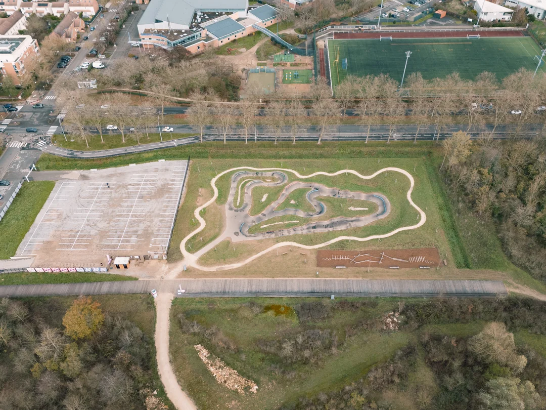
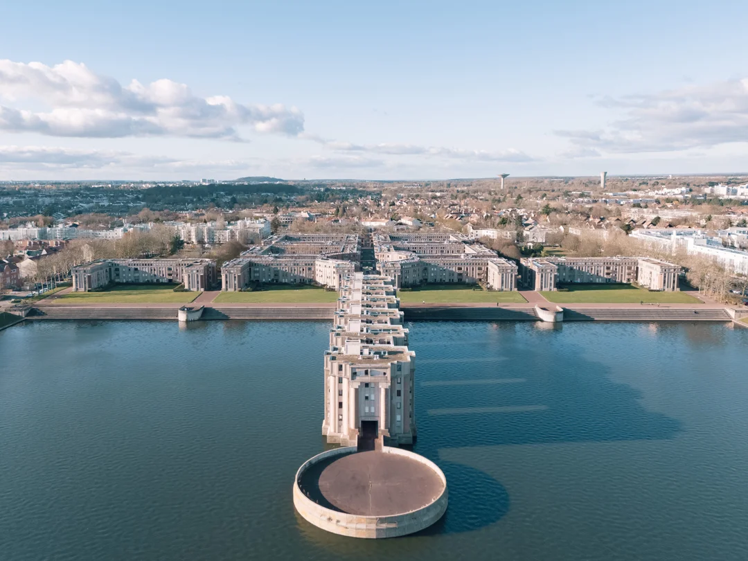
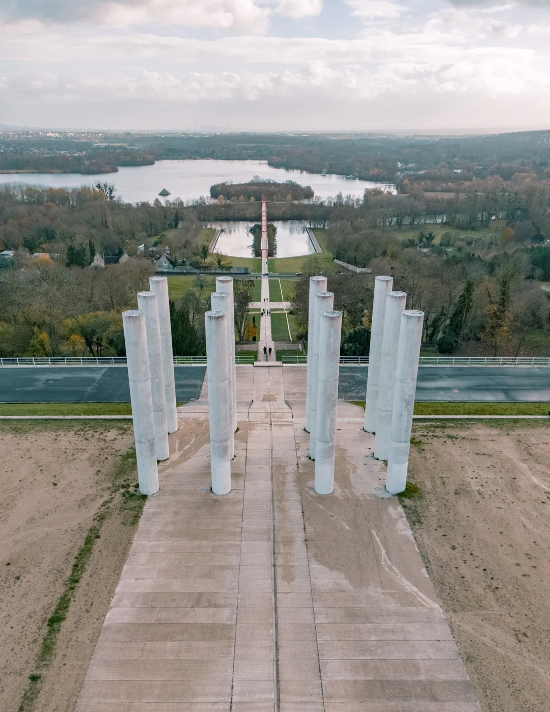
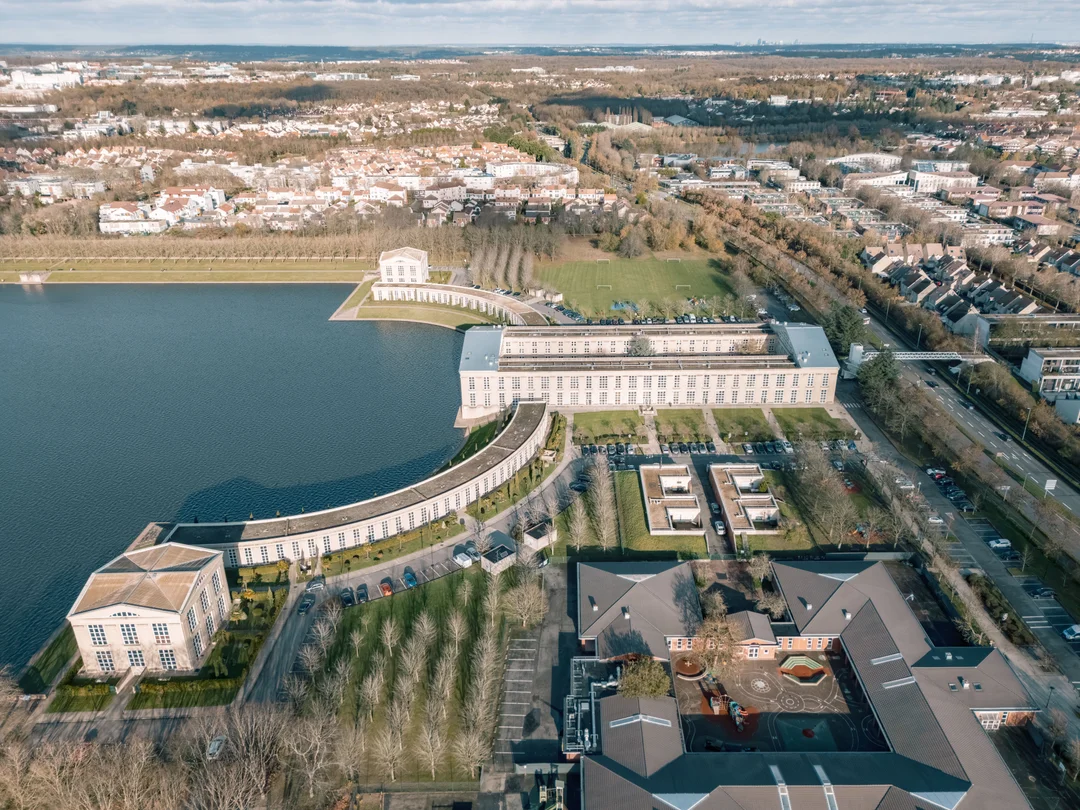

Drone Photographer for Architecture, Hospitality and Real Estate – A precise aerial perspective to showcase your projects, strengthen your image and reveal their real context.
Service · Paris & Greater Paris

Drone Photographer for Architecture, Hospitality and Real Estate – A precise aerial perspective to showcase your projects, strengthen your image and reveal their real context.

A precise aerial perspective to showcase your projects, strengthen your image and reveal their real context.

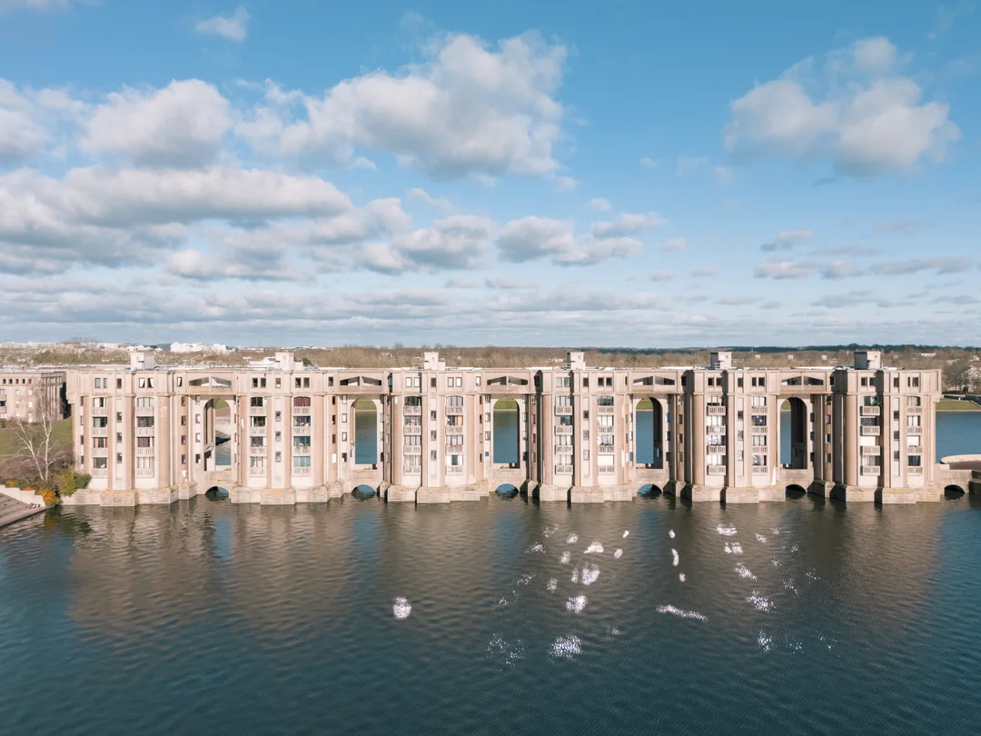
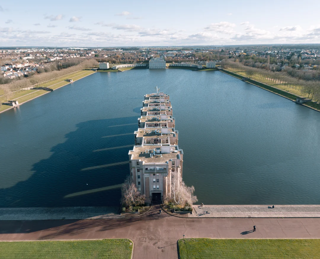
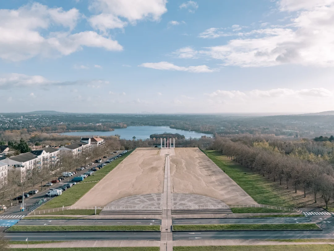
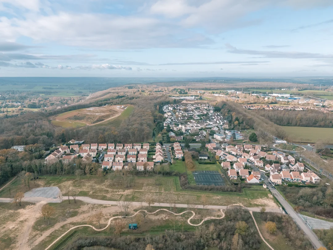
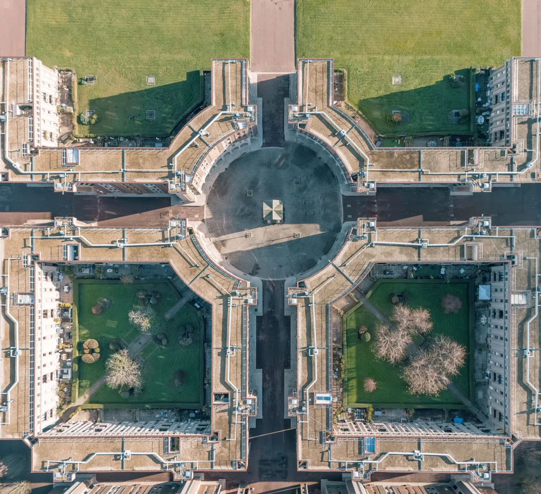
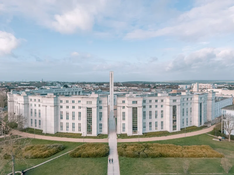
The drone is not there to "gain height". It allows a project to be understood within its environment, revealing its lines, its siting and its relationship to the surrounding territory.

I integrate aerial photography as a natural extension of my ground-level work, in order to produce images that are coherent, usable and directly aligned with your communication, marketing or monitoring needs.

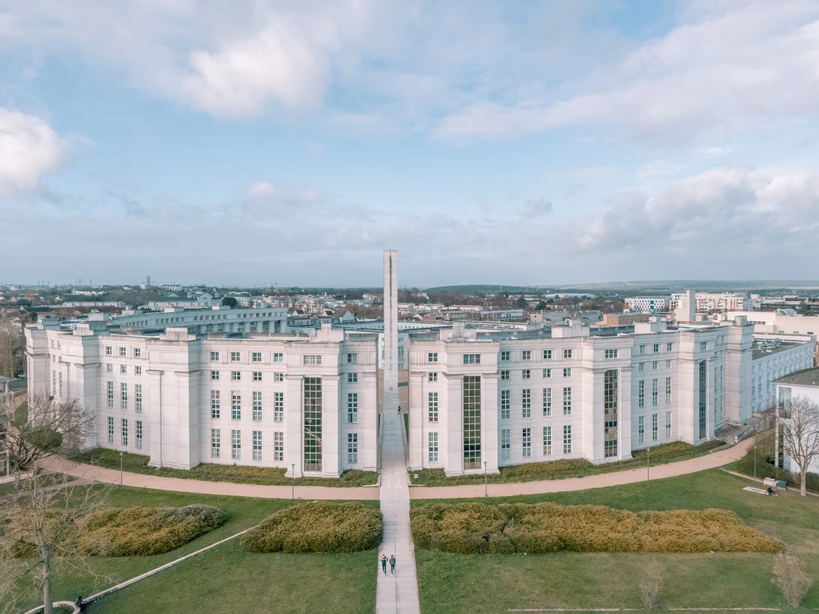
Aerial drone view of an architectural project in Île-de-France
— Why this matters strategically for you

A well-conceived aerial view does more than impress. It situates, structures and clarifies. It allows the siting of a building, its surroundings, its access points and its relationship to the landscape to be understood immediately. In real estate, it strengthens projection. In hospitality, it amplifies desirability. In architecture, it completes the reading of the project. Integrated into an overall visual strategy, it becomes a direct lever on the perception of value and the ability to convince.

Aerial & contextual views

— Gallery
Drone Photographer for Architecture, Hospitality and Real Estate – A precise aerial perspective to showcase your projects, strengthen your image and reveal their real context. — vue 1
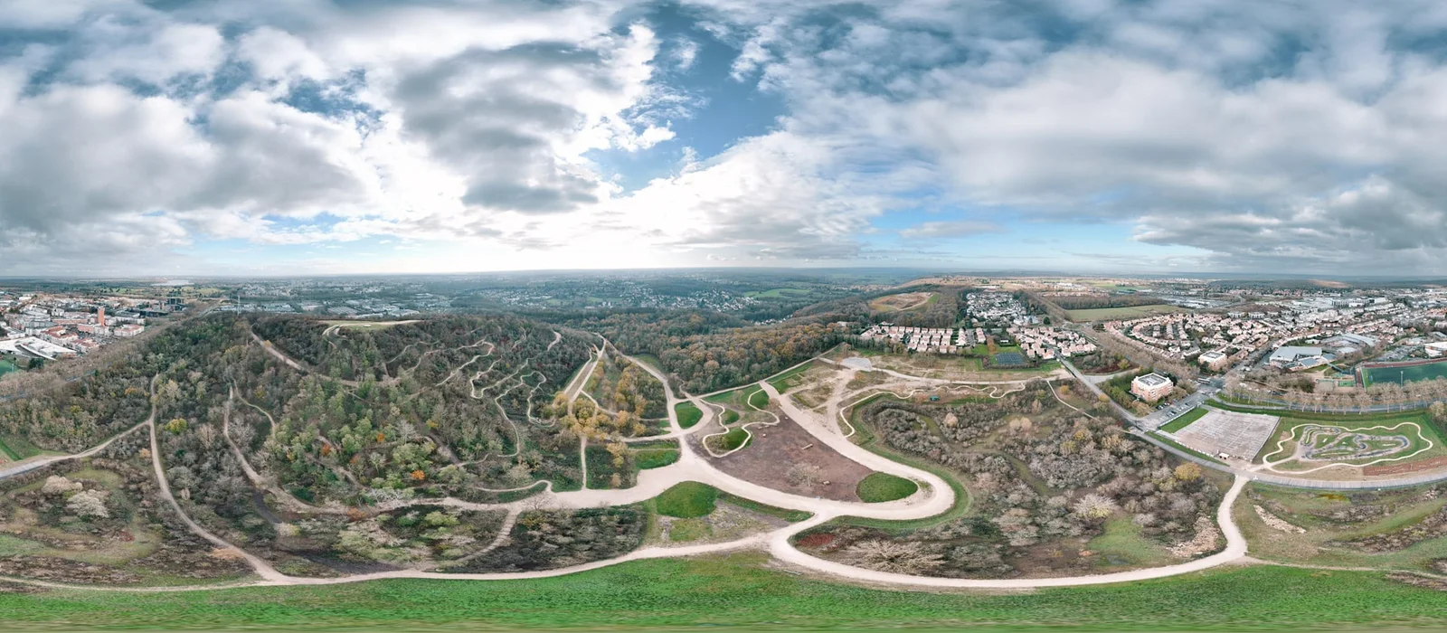
Drone Photographer for Architecture, Hospitality and Real Estate – A precise aerial perspective to showcase your projects, strengthen your image and reveal their real context. — vue 2
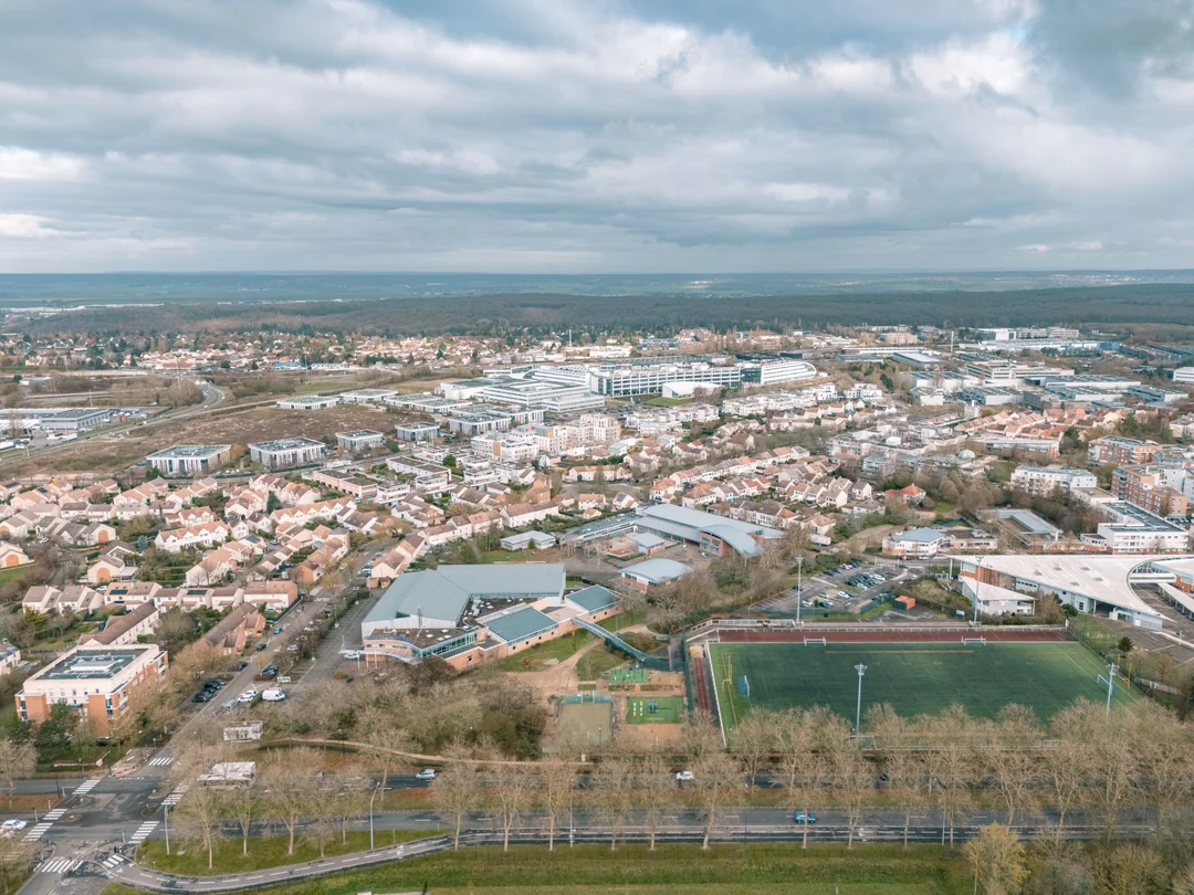
Drone Photographer for Architecture, Hospitality and Real Estate – A precise aerial perspective to showcase your projects, strengthen your image and reveal their real context. — vue 3
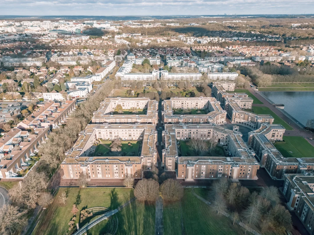
Drone Photographer for Architecture, Hospitality and Real Estate – A precise aerial perspective to showcase your projects, strengthen your image and reveal their real context. — vue 4
Drone Photographer for Architecture, Hospitality and Real Estate – A precise aerial perspective to showcase your projects, strengthen your image and reveal their real context. — vue 5
Drone Photographer for Architecture, Hospitality and Real Estate – A precise aerial perspective to showcase your projects, strengthen your image and reveal their real context. — vue 6
Drone Photographer for Architecture, Hospitality and Real Estate – A precise aerial perspective to showcase your projects, strengthen your image and reveal their real context. — vue 7
Drone Photographer for Architecture, Hospitality and Real Estate – A precise aerial perspective to showcase your projects, strengthen your image and reveal their real context. — vue 8
Drone Photographer for Architecture, Hospitality and Real Estate – A precise aerial perspective to showcase your projects, strengthen your image and reveal their real context. — vue 9
Drone Photographer for Architecture, Hospitality and Real Estate – A precise aerial perspective to showcase your projects, strengthen your image and reveal their real context. — vue 10
Drone Photographer for Architecture, Hospitality and Real Estate – A precise aerial perspective to showcase your projects, strengthen your image and reveal their real context. — vue 11

An aerial approach in service of the project

Drone photography is not simply about changing viewpoint. It structures the reading of a project, reveals its siting and clarifies its relationship to its environment.

An engineer by training and a graduate of the Gobelins school, I approach every intervention with a dual requirement: understanding of context and visual precision. The aim is not to produce spectacular images, but images that are accurate, usable and coherent with the project as a whole.

Each shot is conceived in relation to the ground-level images, in order to build a complete, controlled reading: volumes, circulation, siting, relationship to the landscape or the urban fabric.

The drone then becomes a tool for understanding and showcasing, integrated into an overall visual direction, in service of your communication and your positioning.

Career, exhibitions and publications →
Pierre Châtel-Innocenti, expert in architectural photography.
— Formats

Formats

Formats designed to fit naturally into your projects, whether for showcasing, communication or monitoring.

Aerial Context — Architecture & Real Estate
01

Aerial Context — Architecture & Real Estate

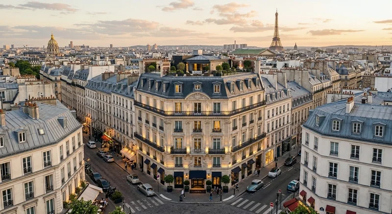
Precise aerial views to situate a project within its environment and strengthen its legibility. Ideal for complementing an architectural report, enriching a presentation file or structuring real estate communication.
Discuss your project →
Signature Aerial — Hotels & Exceptional Venues
02

Signature Aerial — Hotels & Exceptional Venues

A more narrative approach to convey a venue, its siting and its atmosphere through striking images. Designed for high-end establishments, resorts and iconic venues, where the environment is an integral part of the experience.

Discuss your project →
Aerial Monitoring — Construction Sites & Project Evolution
03

Aerial Monitoring — Construction Sites & Project Evolution

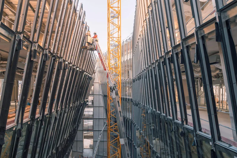
Regular monitoring to document progress, visualise key stages and build a usable history. A useful tool for management, communication and the final showcasing of the project.

Discuss your project →

Full integration into your visual production

Drone photography is not treated as a stand-alone service. It is integrated into an overall visual direction, planned in advance.

Each intervention is prepared according to the project, its environment and the intended uses of the images. Shoots are carried out in compliance with regulatory requirements and under optimal lighting conditions.

The images are then selected, processed and delivered to the same standard as the whole of my output, ready for use on the web, in the press or in communication materials.

A carefully managed regulatory framework

Aerial photography is strictly regulated. It requires authorisations, procedures and a thorough knowledge of the legal framework.

Holder of the CATS certification (professional remote pilot), I operate in compliance with the regulations in force, taking into account the safety, environmental and confidentiality constraints specific to each site.

This framework guarantees shoots that are reliable, secure and usable in a professional context.

Drone Photographer for Architecture, Hospitality and Real Estate – A precise aerial perspective to showcase your projects, strengthen your image and reveal their real context.
— Frequently asked questions
Why add aerial views to an existing report?+

They allow the project to be situated, complement the architectural reading and strengthen overall understanding. They provide a level of information and perception that no ground-level shot can offer.

Is a drone always necessary?+

No. It is used only when it brings real value to the project. The aim is not to add images, but to produce the right images.

What are the regulatory constraints?+

These vary according to location and zone type. Each assignment is prepared in advance to ensure feasibility and compliance with the regulations in force.

Can the images be used for communication and the press?+

Yes. The images are delivered ready for use across different media, with a licensing framework defined according to your intended uses.

Do you work outside Paris?+

Yes. I travel across France and internationally depending on the project.

Reply within 24 h

Let’s talk about your project

Your details are used only to answer this enquiry.